Bog BRYOPHYTE Communities in East and South-Central Texas
When one envisions a bog, and where to find one, Texas does not typically come to mind. However, there are a number of bogs and other similar habitats in many parts of the state. By definition, a bog is “a wetland that accumulates peat - a deposit of dead plant material.” Therefore, if there were bogs in Texas, it would seem most likely such sites would be in the eastern part of the state where the rainfall is highest. Indeed, there are quite a number of such sites distributed throughout the eastern part of the state.

East and South Central Bog Region
Beyond eastern Texas, locating such sites would seem unlikely in light of the steady decline in annual precipitation across the state. However, there are (or have been) quite a number of such sites in the east-central part of Texas. These sites generally extend along a sloping line from just east of San Antonio, northeast toward upper east Texas. These typically isolated sites have been located in Guadalupe, Caldwell, Gonzales, Bastrop, Lee, Burleson, Milam, Robertson, Leon, Freestone, Anderson, Harris, and Houston Counties. Many of these sites have been investigated for a number of different reasons over the past 7-8 decades. These interests range from commercial peat extraction in the 1930’s and 1940’s, to floristics, and past climate reconstruction in more recent decades. Unfortunately, commercial peat extraction, grazing, sedimentation, and other similar activities have had significant negative impacts on many of these sites, and at present, the ecological status of these sites is unclear. As we are all aware, Texas is a very large state, and the vast majority of it is private property (some estimates as much as 97%). This makes access to such unique habitats difficult, if not impossible. Therefore, this project will engage interested citizens and local landowners in an effort to locate, and ideally gain access to, properties with actual or potential bog sites.
The objectives of this project are:
Document the location and current spatial extent of these sites
Compile a list of the historical (as available) and extant flora
Assess the current ecological status of these unique and sensitive habitats
Site Descriptions
The information presented about each of these sites has been compiled from a number of published and unpublished papers, reports, and other gray literature sources. In searching the literature, it is clear many of these sites have been given more than one name. These synonyms, to borrow a botanical term, become apparent when looking at maps and other sources and likely represent local colloquial names given the sites over many decades of ownership.
LIMESTONE COUNTY “BOG” Site
20 November 2019

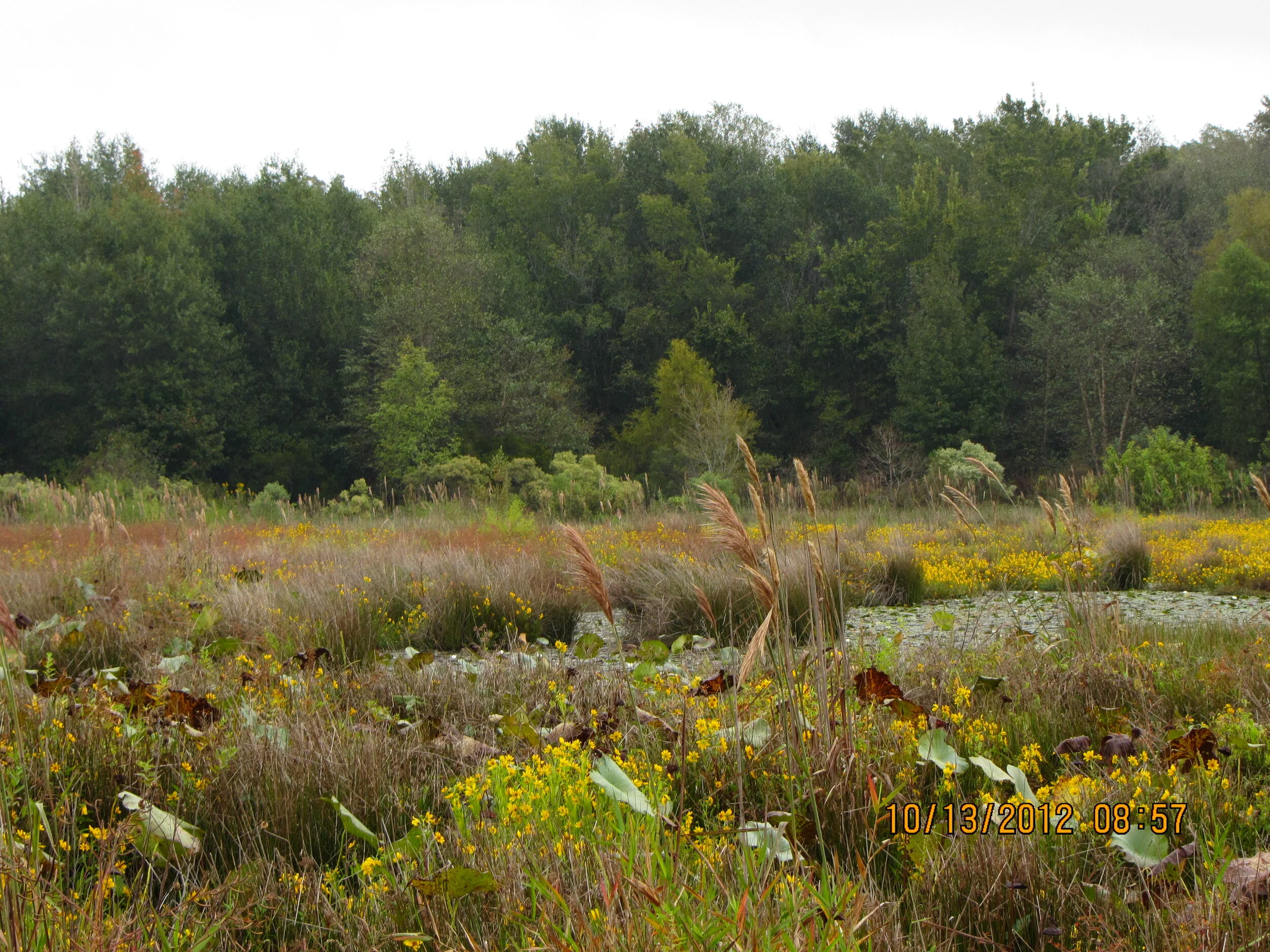
Limestone County Sphagnum site.
As discussed above, Sphagnum bogs are an infrequent habitat in south-central Texas. This week I visited a new site near Kosse, in Limestone County, where a shallow ponded area was fringed with a fairly continuous mat of Sphagnum perichaetiale Hampe. Although rather dry during this visit, in the spring the site is reportedly much more extensive and inundated with 4-6” of water which supports a variety of wetland species to include Cyperaceae (Carex sp.), Juncaceae (Juncus sp.), and Xyridaceae (Xyris sp.). The site is on private property and is fairly well protected from impacts at this point. Another nice surprise was Polytrichum commune Hedw., and Dicranum condensatum Hedw. in the Oak-Juniper woodlands which surround the site. Other mosses in the nearby woodland include Leucodon julaceus (Hedw.) Sull., Leucobryum albidum (Brid. ex P. Beauv.) Lindb., and Fissidens sp. The lichen Cladina subtenuis (Abbayes) Hale & W.L. Culb. was also present in small patches.
Although not really a “bog” by any means (not even by Texas standards), the Limestone County site is nonetheless a new record for this unique community in the region. In searching through the literature, and specimen records, there are no references to this site. In addition, the presence of Polytrichum and Dicranum at the site represents a significant range extension for both species. Aside from a few questionable records in Brazos and Travis Counties, the westernmost record for Polytrichum in Texas has long been Montgomery County, just over 100 miles southeast of this new site.

Polytrichum commune (darker green plants) and Dicranum condensatum (yellow-green plants)
Boriack Bog, Lee County
Boriack Bog (Lee County)
Much of the previous extent of the Boriack Bog(s) have been altered through the harvesting of peat, and subsequent degradation through grazing and other agricultural impacts. Observations in the vicinity suggest there were originally several (3-5) adjacent, to somewhat isolated, bogs associated with a hillslope drainage. Two of these sites are essentially small stock ponds with minimal bog vegetation remaining. However, at least one remains somewhat intact, with a substantial floating mat of vegetation. Numerous grasses, sedges, rushes, and even small trees can be seen atop the floating mat.
Wall Bog (Milam County)
Two site visits were made to Wall Bog in April and May of 2016. This site is also fairly degraded as a result of dredging and adjacent agricultural impacts over the years. One good sign of recovery is the fairly large mat of Sphagnum sp. on the north and east sides of the bog, along with a floating mat of grasses and sedges on the south end of the site. The bog is fed by an off-site spring/seepage that surfaces just to the south of the impounded area. On the east side of the impoundment the site is maintained by a small dam which is penetrated by a small culvert that allows a flow-through of water entering from the south. The thalloid liverwort, Pallavicinia lyelii (Hook.) Gray is also present among the grasses on the Sphagnum beds.

Wall Bog, Milam County

Pallavicinia lyelii

Sphagnum sp.
Andrew's Bog (Anderson County)
Aronow Bog (Harris County)

Distant view of the bog from the south.

Inundation on the southern margin of the bog.
Kinglet Bog (Harris County)
Black Bog (Milam County)
Camp Bette Perot Bogs (Anderson County)
Denman Bog (Guadalupe County)
Gause Bog (Milam County)
Flynn Bog (Leon County)
Frischke Swamp (Bastrop County)
Gravel Pit Bog (Anderson County)
Hershop Bog (Gonzales County)
North Bog (Anderson County)
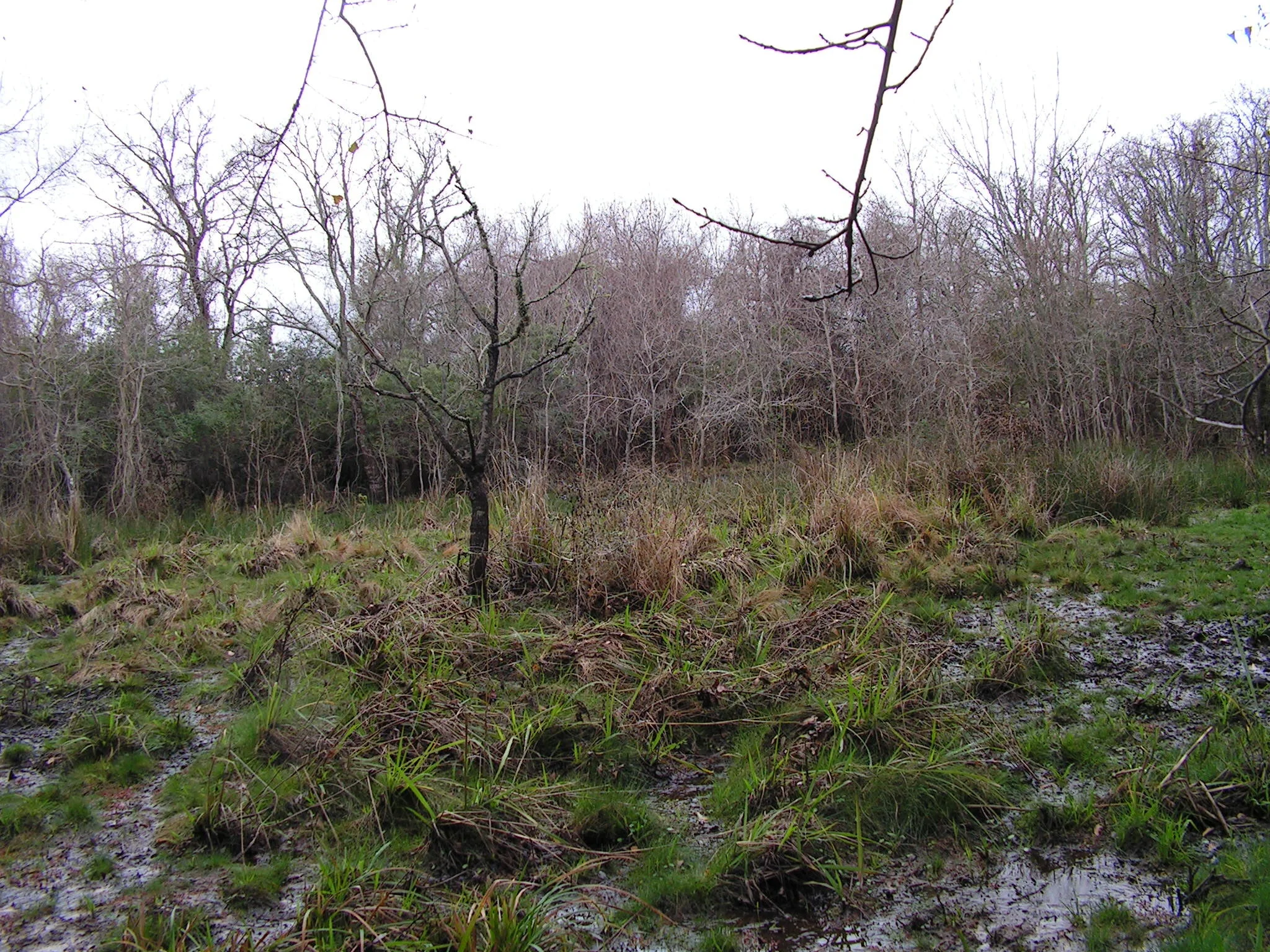
Patschke Bog (Lee County)
Just across the property line (and fence) from the Boriack Bog(s) are the remains of Patschke Bog. This site is heavily disturbed and very little remains of what was once an apparently much larger bog. This bog was one of the primary sites of peat mining in the 1930's.
During an onsite visit to the property in February of 2012, only a few meager remnants (or re-introductions?) of Sphagnum sp. were observed. Although the site is still fairly mucky along the margins of the ponded area, it is essentially just a stock pond associated with a perennial to intermittent stream.
Robertson Bog (Robertson County)
Rutledge Swamp (Gonzales County)
Skidmore Bog (Houston County)
In contrast to many of the other sites in this survey, Skidmore Bog (also known locally as Convict Spring) is quite extensive. In an April 2012 visit, the bog was found to be in relatively good condition, at least from the margins. Access to the interior of the bog requires a boat due to the thick vegetation and deep water conditions. Skidmore Bog is oriented in a slightly tilted north-south line adjacent to a railroad embankment (which apparently helps to maintain water levels) and is approximately 3000' long by an average of 200-250' wide.